- INICIO
- SOLUCIONES
- SERVICIOS
- INFRAESTRUCTURA
INFRAESTRUCTURA
OBRAS DE AFORO
(PRÓXIMAMENTE) - INDUSTRIAS
- NOSOTROS
NOSOTROS
- APRENDIZAJE
- CONTACTO
Digitaliza y visualiza en AMARU el registro de niveles y caudales en terreno por parte de tus operadores con esta aplicación móvil.
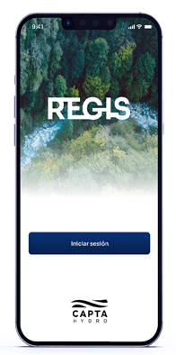
La App Capta ReGIS fue desarrollada para digitalizar la captura de información de niveles y caudales en terreno.
Con un diseño e interfaz simple de usar, apto para todo nivel de usuarios.
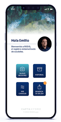
El operador captura fotos e ingresa datos directamente desde la aplicación, evitando errores. Luego, toda la información puede visualizarse y verificarse en Capta AMARU por los administradores.
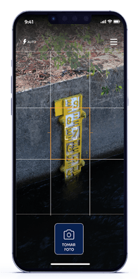
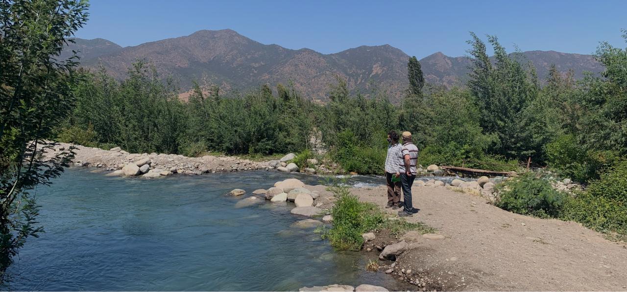
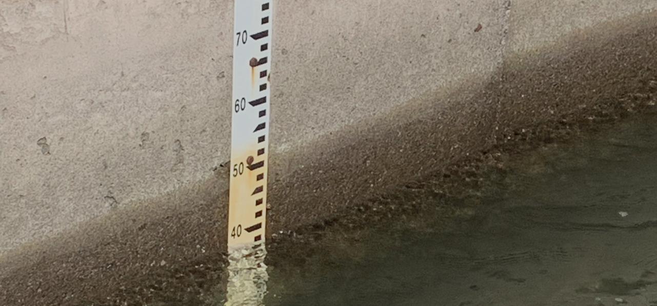
El operador captura imágenes de la sección de aforo, tranque o medidor cuyo nivel debe revisar en sus labores diarias.
Esta imagen sólo puede ser capturada desde la aplicación, quedando geolocalizada y con marca de tiempo. Luego el operador registra el nivel actual en la aplicación. Compatible con todos los dispositivos móviles. Simple de usar en terreno.
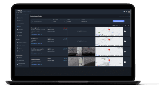
Los administradores o directores podrán visualizar todos los datos capturados por sus operadores en terreno en una sola plataforma, generando un registro histórico y permitiendo un análisis inmediato de sus caudales y volúmenes.
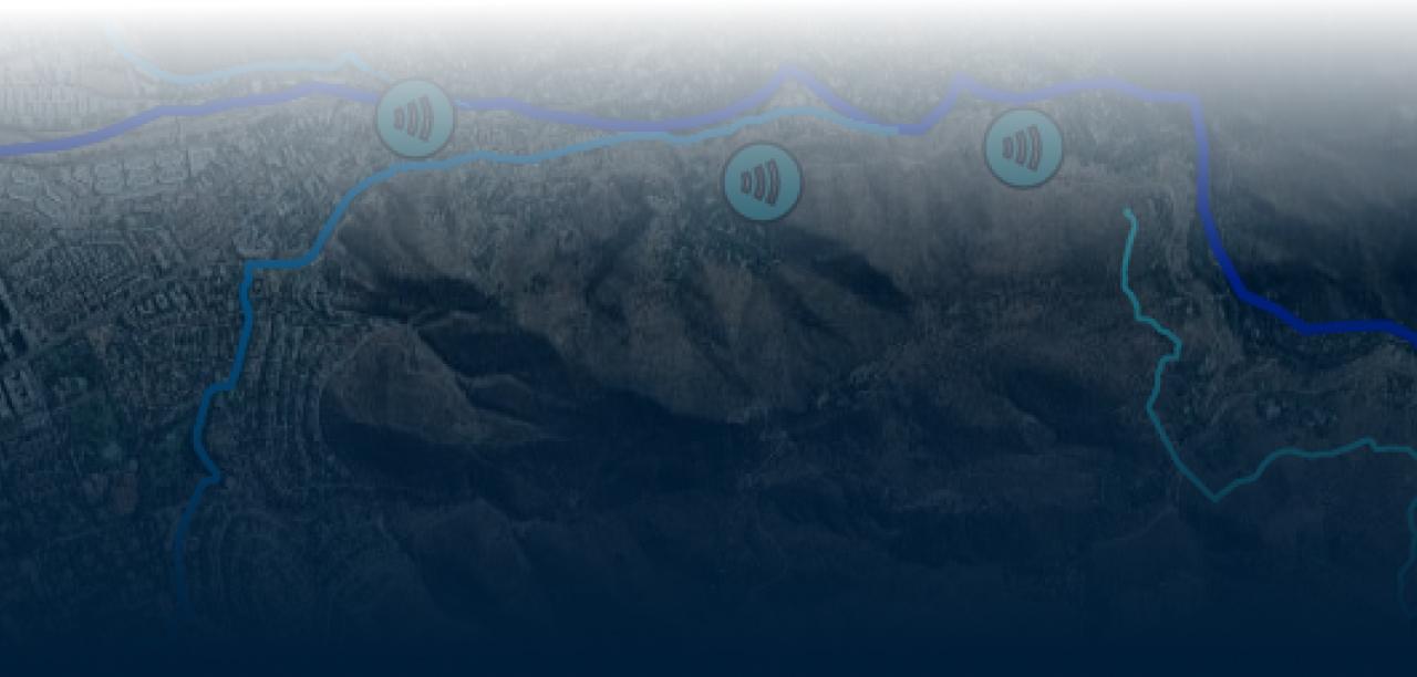
Visualización de estaciones a monitorear en centro de control.
Visualización de gráficos de niveles, caudales y volúmenes.

“El software Capta Amaru nos permite integrar todos los datos de la cuenca para poder tener una visualización total de los repartos de agua que se hacen en el río”
Claudio Bizama, administrador de la JV de la 1ra sección del río Mapocho.

Los Ebanistas 8611,
La Reina, Santiago, Chile
+569 9828 0333
contacto@captahydro.com
Mexicali,
Baja California, México
mexico@captahydro.com
Lima, Perú
+51 936 011 920
peru@captahydro.com
California, Estados Unidos
usa@captahydro.com


© 2023 CAPTA HYDRO